For history teachers, students, strategists and storytellers.
Map how nations are born.
A history map editor in your browser. Draw borders, paint territories, place locations and routes, date every change and watch the map move through the years.
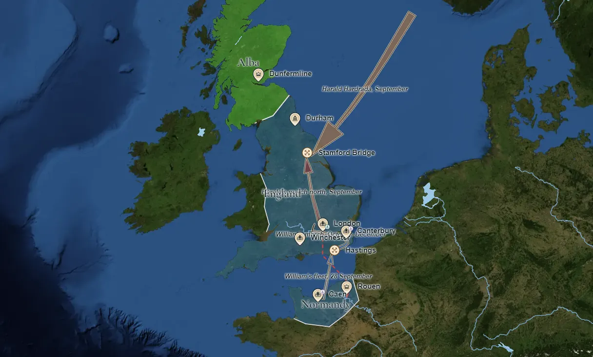
Start creatingExampleThe Norman conquest of England, 1066
Four worlds, drawn in the editor
Choose a world, then compare its blank base map with the natural one. The pictures are examples of what the editor draws; nothing here opens a map.
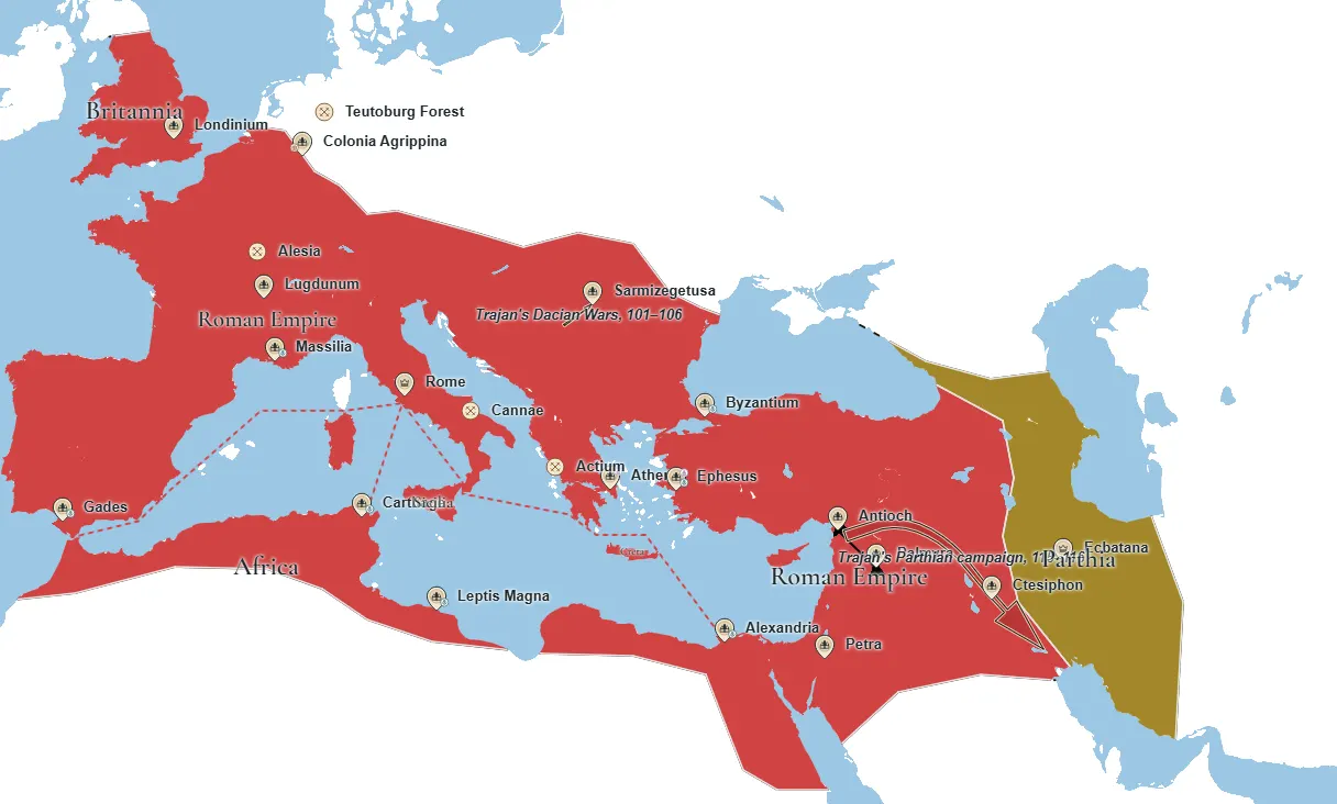
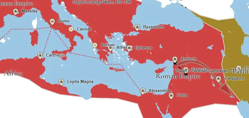
The Roman Empire, 117
The Roman Empire and Parthia in 117, under Trajan.
Example
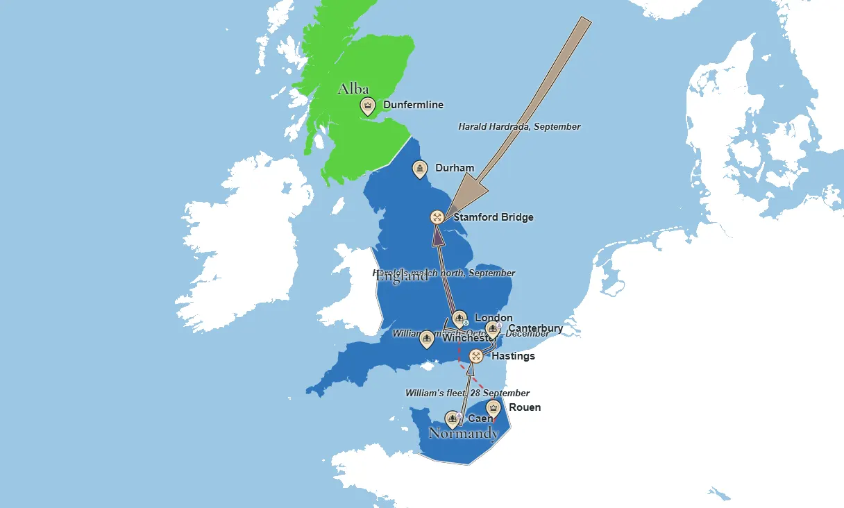
The Norman conquest, 1066
England, Normandy and Alba in 1066, after Stamford Bridge and Hastings.
Example
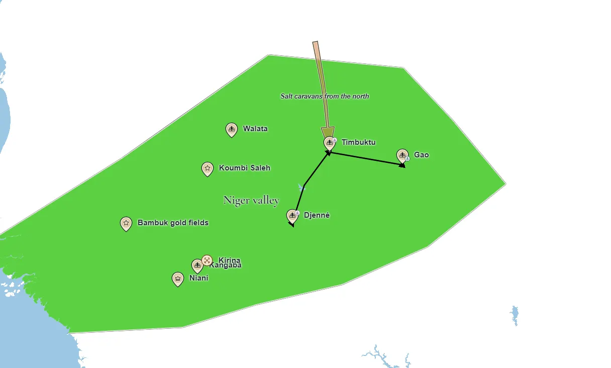
The Mali Empire, 1312
The Mali Empire in 1312, as Mansa Musa comes to the throne.
Example
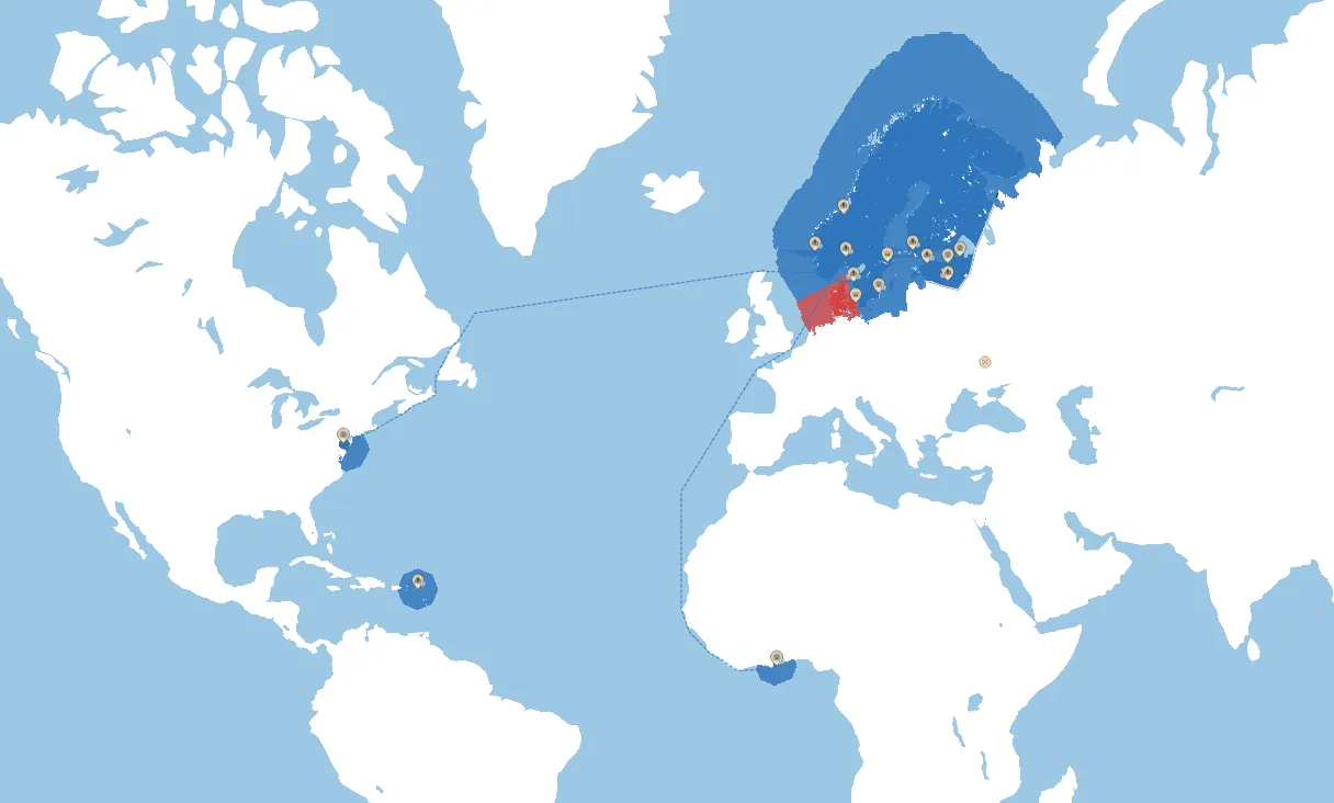
Alternate history: Sweden, 1721
An alternate 1721 of Scandinavia and the Baltic, with the Swedish Empire keeping its lands. Three years on the blank base map.
Example
Three steps from a blank world to a finished map
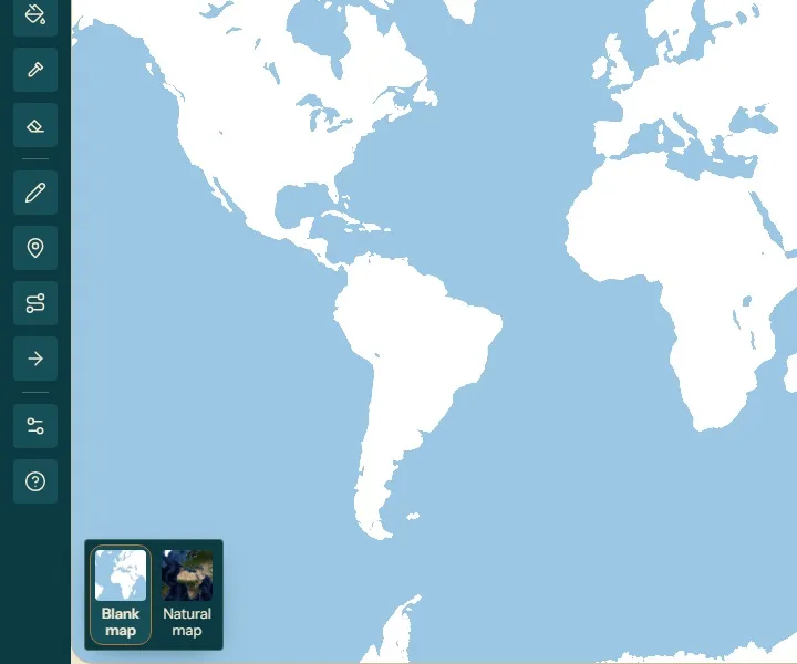
Pick a base map
A blank world, or the natural one from satellite, with rivers and no modern borders.
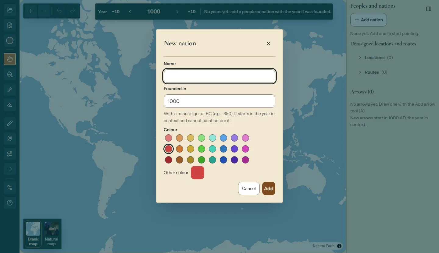
Add your nations
A name, a founding year and a colour from a palette that stands out from the map.
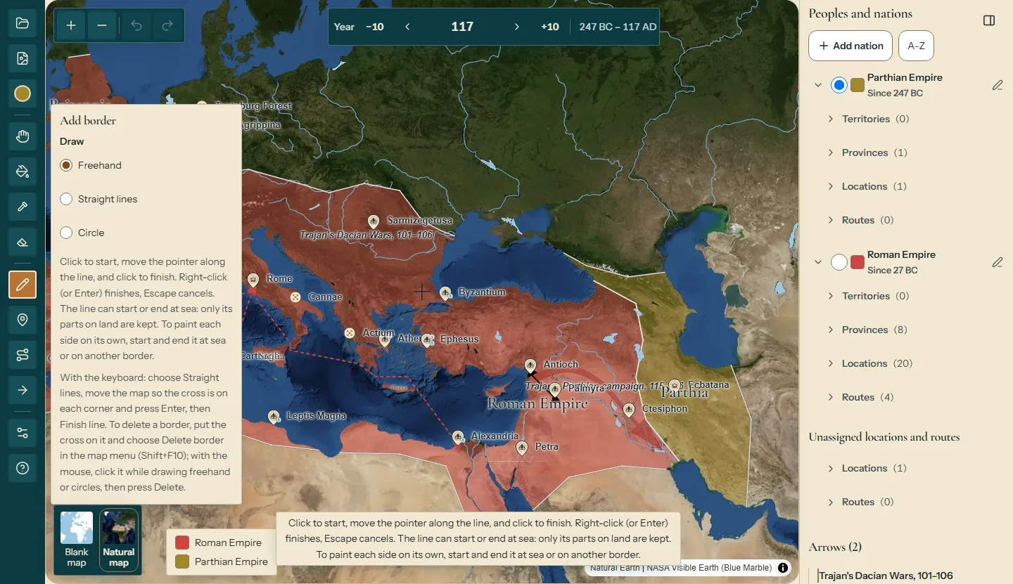
Draw and paint
Cut the land with borders, then fill each side with the nation that holds it.
What you can draw
Borders, places, arrows and routes, on real geography and dated.
Borders and paint
Draw borders as lines or circles, then paint each closed area of land with one click. Coasts and rivers count as borders. Nothing is painted on the sea.
Locations, free arrows and routes
Place cities, ports, castles, religious sites, capitals and battles on land only, with their dates. Draw a free arrow for a march or a campaign, over land or sea. Link two points with a route by land or sea.
- Dates. Every change is dated, and the map shows any year, BC included.
- Export. With an account, export the whole world as a PNG or JPEG, with the year and the legend.
Who it's for
Teachers and students
Draw the map once, date each change and export one image per year for a lesson; or show an expansion or a reconquest with real dates, each nation with its own name, colour and legend.
Strategists
Lay out territories, fronts, supply routes and campaign arrows on real geography, and step through how a war or a scenario unfolds, year by year.
Storytellers
For gamers, history buffs and hobbyists: a clean image for each period of a video, a post or a book, with the year and the legend on it, alternate histories included.
Questions
Does it generate maps with AI?
No. You draw the borders, colours and history yourself.
Can I show how borders changed over time?
Yes. Each province keeps dated records, and the map shows any year, BC included.
Can I use the maps in a class or a video?
Yes. Export the whole world as a PNG or JPEG with the year and the legend.
Does it show today's political map?
Not yet.